
It’s easy to think that winter storms are the only thing you need to worry about when driving to Mammoth Lakes, but the truth is that you need to monitor the road conditions year-round.
Winter storms may be the most noticeable event that affects driving conditions to Mammoth Lakes, but construction, seasonal tourism, and other natural events like storms and wildfires can also put a roadblock in your path to town. To make sure you get to enjoy Mammoth Lakes, we’ve put together a guide on where to find Mammoth Lakes road closures and information. Read below and bookmark these sites to make your drive as easy as possible!
Current US Highway 395 Conditions Feed
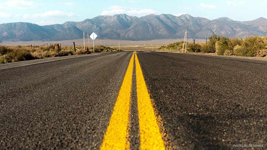
It’s hard to avoid driving on Route 395 on the way to Mammoth Lakes, so it’s a good idea to monitor it closely. The best way to stay up to date on 395 is to check the California Department of Transportation (Caltrans) page dedicated to 395 information.
The most important thing you’ll find here is road closure information that can save you hours of driving, but you’ll also find details like tire, chain, and vehicle requirements that you must be aware of if there a natural event like a winter storm. For Mammoth Lakes specifically, the most important road to keep an eye on is SR 203. SR 203 is the main road that leads from Route 395 to Mammoth Lakes, so if there is a closure or a chain control in effect then you have no option but to comply.
Caltrans District 9 Directory Page
This page is a great source for Mammoth Lakes road closures and conditions in Inyo, Mono, and Eastern Kern counties.
The most useful links for monitoring Mammoth Lakes road conditions on the directory page are District 9’s Twitter, Facebook, and traffic cameras. Twitter and Facebook are great options for live updates and discussions within the comment sections, but if you want official information then check out the traffic incident info page to find information like chain requirements and current conditions.
Even if there are no potential road closures, there is a database on this page that will tell you information like when lanes and ramps will be closed for construction and for how long. Keeping up roads after Eastern Sierra winters is a tough task that affects the entire region due to the small number of major roads, so use this database to avoid traffic caused by construction projects.
Caltrans Quick Map
You can access the Caltrans Quick Map from the District 9 Directory Page, but since it is one of the most useful tools on this list it’s mentioned here separately.
The Quick Map is a live look at closures, traffic, and other information on all California state roads. To use it, select the chain control, full closures, and Waze alerts in the Mammoth Lakes area from the drop-down menu just about the map. From there you will see a notification for every area with a road closure along with details on what to expect once clicked on.
If you’re familiar with using Google Maps or Waze, then this map is an excellent tool to help you find the fastest and safest route to Mammoth Lakes.